
The Role of Satellite Intelligence in Himalayan Landscape Change
Transforming rugged terrain and glacial lake expansion into an observable, accountable decision surface through multi-spectral Earth observation.
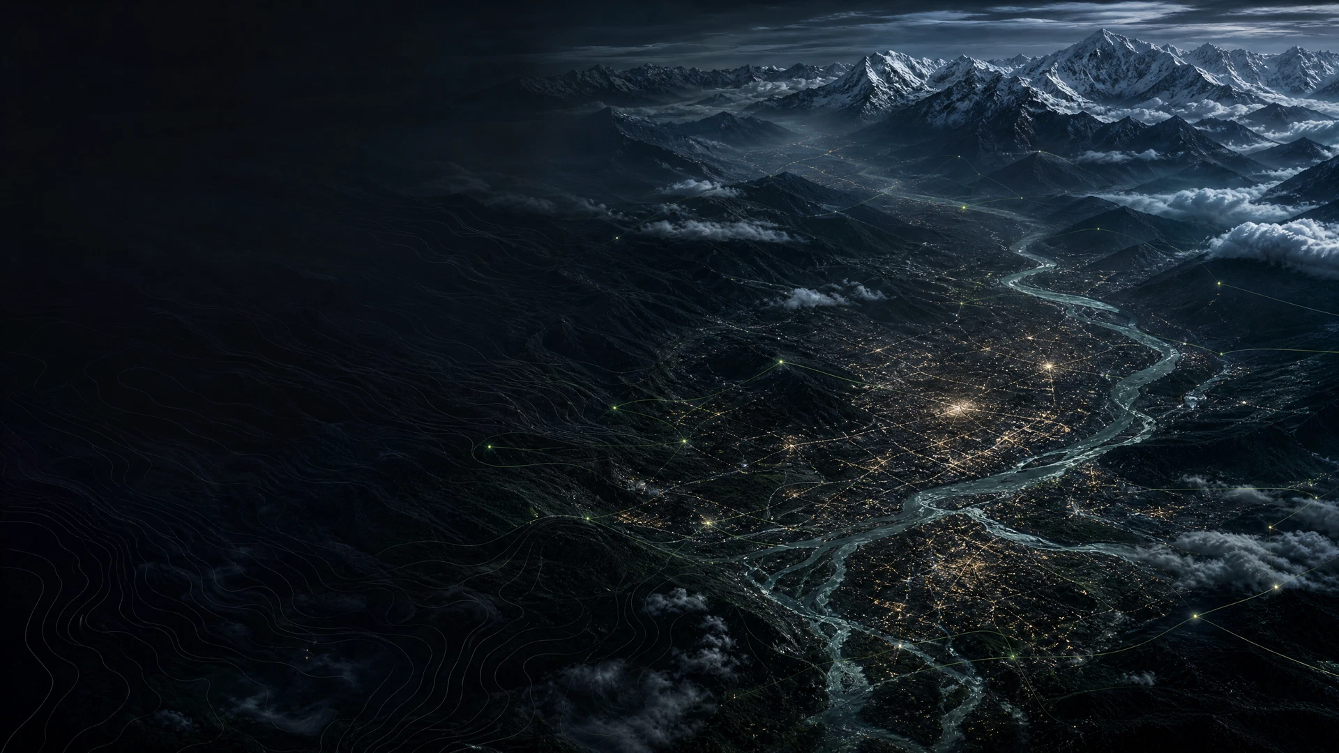
Observability Across Rugged Frontiers
The Hindu Kush Himalaya (HKH) contains the largest reserve of frozen water outside the polar regions, earning it the title of the Third Pole. Yet vast portions of this terrain remain physically inaccessible for regular on-the-ground surveys due to vertical relief, harsh winter weather, and extreme altitudes exceeding 5,000 meters.
To understand how rapidly this landscape is changing, we must turn to continuous Earth observation streams—fusing synthetic aperture radar (SAR), thermal infrared telemetry, and optical satellite imagery.
Monitoring Glacial Lake Outburst Floods (GLOFs)
As Himalayan glaciers retreat, meltwater pools behind unstable terminal moraines, forming high-altitude glacial lakes. Across Nepal and the wider HKH region, over 20 critical glacial lakes currently exhibit accelerated surface expansion and moraine dam instability.
Using automated computer vision pipelines trained on multi-spectral Sentinel-2 and Landsat-9 imagery:
- Surface Area Tracking: Automated segmentation tracks spatial lake growth and perimeter changes after seasonal melt cycles.
- Moraine Displacement Radar: Sentinel-1 SAR interferometry detects subtle millimetric ground subsidence and slope creep along fragile moraine walls.
- Thermal Anomaly Sensing: Identifying sudden sub-surface thermal shifts and permafrost degradation that precede catastrophic dam failures.
+-------------------------------------------------------------------+
| SATELLITE RADAR PIPELINE: SENTINEL-1 / 2 + COP DEM 30M             |
| 1. Optical Spectral Indexing (NDWI / MNDWI Lake Perimeters)       |
| 2. SAR Coherence & Interferometric Displacement Analysis          |
| 3. Downstream Runoff Hydrodynamic Simulation                      |
+-------------------------------------------------------------------+
Canopy Carbon and Forest Dynamics
Beyond glacial risk, planetary observation allows us to track forest canopy cover, biomass density, and community agroforestry regeneration in the middle hills of Nepal. By combining LiDAR sample transects with continuous optical satellite time series, we quantify carbon sequestration and detect unauthorized land clearance before degradation spreads across critical ecological corridors.
Through rigorous remote sensing and localized validation, Earth observation transforms raw orbital data into an auditable evidence surface for planners, conservationists, and civic institutions.
Data Sources & Instrument Methodology
- Optical Sensors: Copernicus Sentinel-2 MSI (10m bands) & USGS Landsat 9 OLI-2
- Radar Telemetry: Copernicus Sentinel-1 C-band SAR
- Reference Baselines: ICIMOD HKH Glacial Lake Inventory & Nepal Forest Research Division