
How AI Can Help Nepal Prepare for Extreme Flooding
A systems view of rainfall forecasting, river basin telemetry, and anticipatory climate action across high-altitude Himalayan watersheds.
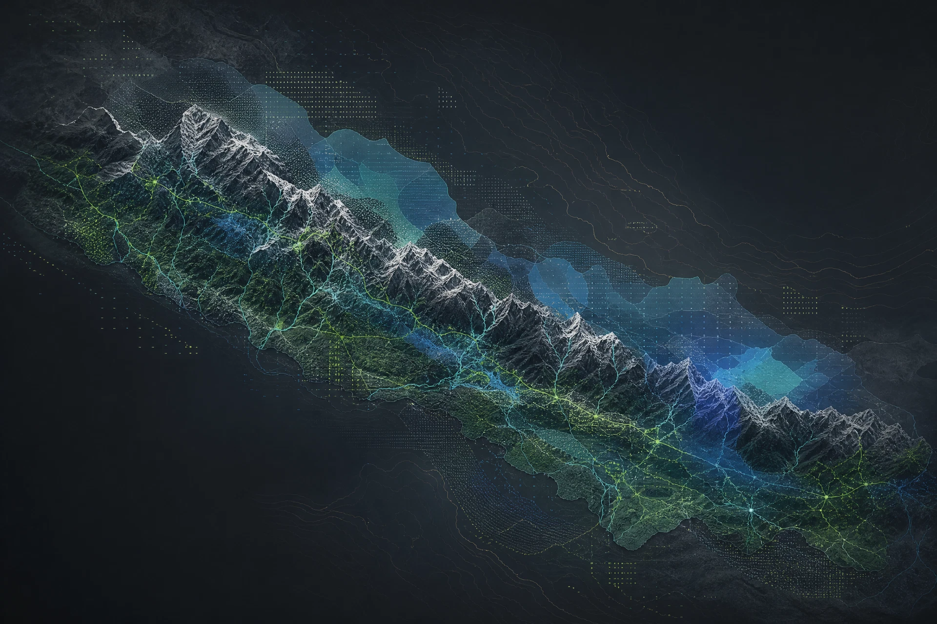
The Hydrological Gradient of the Himalayas
Nepal spans the steepest ecological and topographic gradient on Earth—rising from 60 meters above sea level in the southern plains to 8,848 meters at Mount Everest over a horizontal distance of just 150 kilometers. When monsoon depressions stall over these precipitous slopes, precipitation concentrates rapidly into narrow mountain gorges, creating severe flash flood surges, debris flows, and river basin crests within hours.
Traditional flood forecasting systems have historically relied on sparse gauge networks or coarse global meteorological models that struggle to capture micro-scale convective rainfall generated by complex Himalayan mountain topography.
Fusing Radar Feeds with Physics-Informed Hydrology
At Sustainability Lab, we approach flood resilience not merely as statistical curve fitting, but as a coupled physical system. By combining multi-spectral satellite earth observation (such as GPM IMERG and Sentinel SAR feeds) with ground IoT hydrological telemetry and digital elevation models (DEM), our predictive neural networks model river basin hydraulics in real time:
- Precipitation Telemetry & Radar Inflow: Ingesting high-frequency satellite radar data calibrated against local Department of Hydrology and Meteorology (DHM) stations.
- Catchment Infiltration & Slope Friction: Calculating soil saturation, terrain rugosity, and antecedent moisture across major river catchments including the Koshi, Gandaki, and Karnali basins.
- Hydrodynamic Routing: Simulating surge travel times, peak discharge stages, and downstream flood inundation zones with quantified uncertainty envelopes.
“Resilience is built before the water rises. Giving municipal disaster units 36 to 48 hours of anticipatory lead time transforms an emergency reaction into an organized, preventive civic mobilization.”
From Telemetry to Civic Action: The Koshi Case
During high-intensity monsoon events, rapid runoff in upstream tributaries can elevate river stages near Chatara by more than 1.8 meters within short windows. When hydrodynamic routing predicts surge thresholds with high model confidence (over 94%), automated API pipelines dispatch early warning notices directly to municipal response units across Saptari and Sunsari districts.
This shift—from reactive disaster management to proactive anticipatory action—demonstrates the tangible value of applied planetary computing. When physics-informed machine learning is coupled with local community knowledge, early warnings save lives, protect civic infrastructure, and safeguard agricultural livelihoods.
Evidence Sources & Ground Telemetry
- Meteorological Feeds: ECMWF Integrated Forecasting System (IFS) & NASA GPM IMERG
- Hydrological Ground Calibration: DHM Hydrological Telemetry Network
- Spatial Elevation Model: Copernicus 30m Global DEM & Sentinel-1 SAR